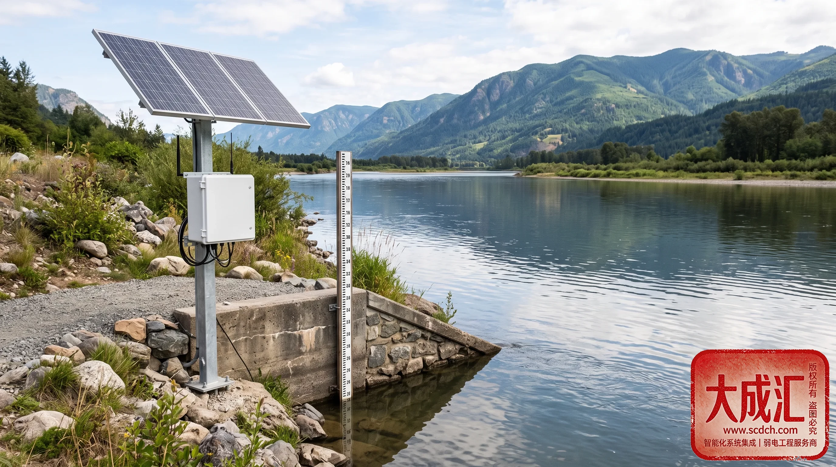
River Hydrology Monitoring
Precisely tracking water level and flow changes to safeguard river health and flood conveyance.
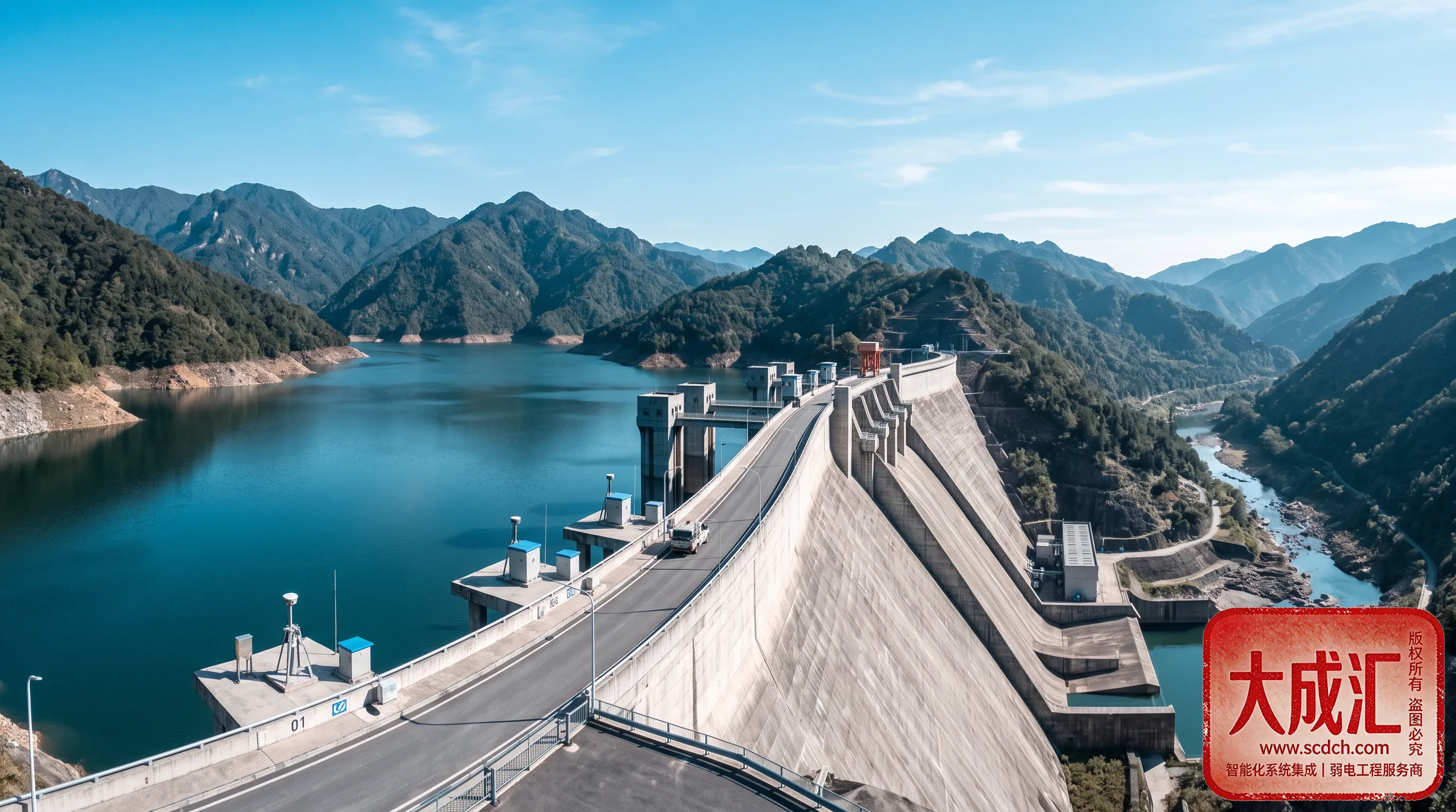
River hydrology monitoring is a smart water system that automatically measures and reports river water level, flow, velocity and water body parameters. With over 10 years of experience in intelligent system integration and water conservancy informatization, Sichuan DCH Technology (DCH) integrates sensing devices such as radar/float water level gauges, Acoustic Doppler Current Profilers (ADCP), open-channel flow meters and telemetry terminals (RTU), delivering full-lifecycle projects from station siting, equipment installation and data link construction to platform operation. It supports flood conveyance dispatch, ecological flow regulation and water administration, so every river is "clear to see, accurate to measure and stable to report."
1. Background and Value
Flood control, drought relief and water ecological protection place ever-higher demands on river monitoring. Traditional manual observation suffers from low frequency, poor timeliness and dangerous operation during rainstorms, making refined dispatch difficult. Meanwhile, the river chief system, ecological flow regulation and cross-regional water administration require continuous, credible and traceable river hydrology data.
For water authorities and operation management units, river hydrology monitoring delivers the following value:
- Flood conveyance safety: Real-time water level and flow buy time for flood-season dispatch and over-warning alerts;
- Ecological regulation: Continuous reporting at ecological flow sections provides evidence for water abstraction and ecological release regulation;
- Water administration: Unified, comparable data across administrative boundaries reduces water disputes;
- Cost and efficiency: Automated telemetry replaces manual patrol, and is safer and more reliable in extreme weather.
2. Overall Architecture: A Three-Layer Sensing–Transmission–Platform System
DCH breaks river hydrology monitoring into a "sensing–transmission–platform" three-layer architecture that ensures reliability of individual devices and emphasizes system-level coordination:
| Layer | Components | Key Capabilities |
|---|---|---|
| Sensing layer | Radar/float water level gauges, ADCP, open-channel flow meters, water quality buoys, automatic evaporation stations | Collection of water level, velocity, flow, water quality and evaporation |
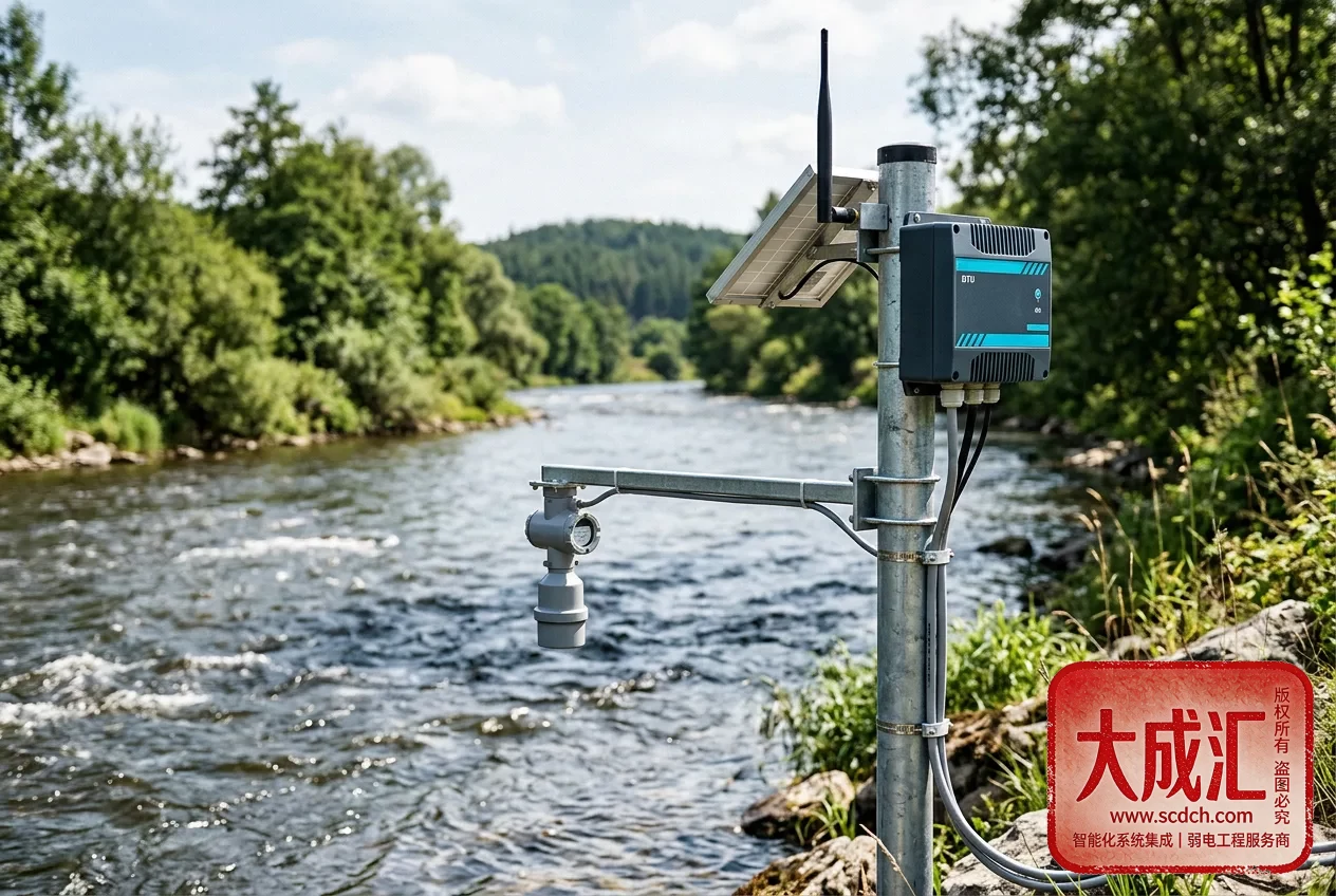
| Transmission layer | Telemetry terminals (RTU), 4G/5G and BeiDou communication, solar power | Encrypted data transmission, breakpoint resume, low-power duty |
| Platform layer | Hydrology monitoring platform, GIS one-map view, over-warning alerts and reports | Real-time storage, anomaly alerts, statistical analysis, multi-channel release |
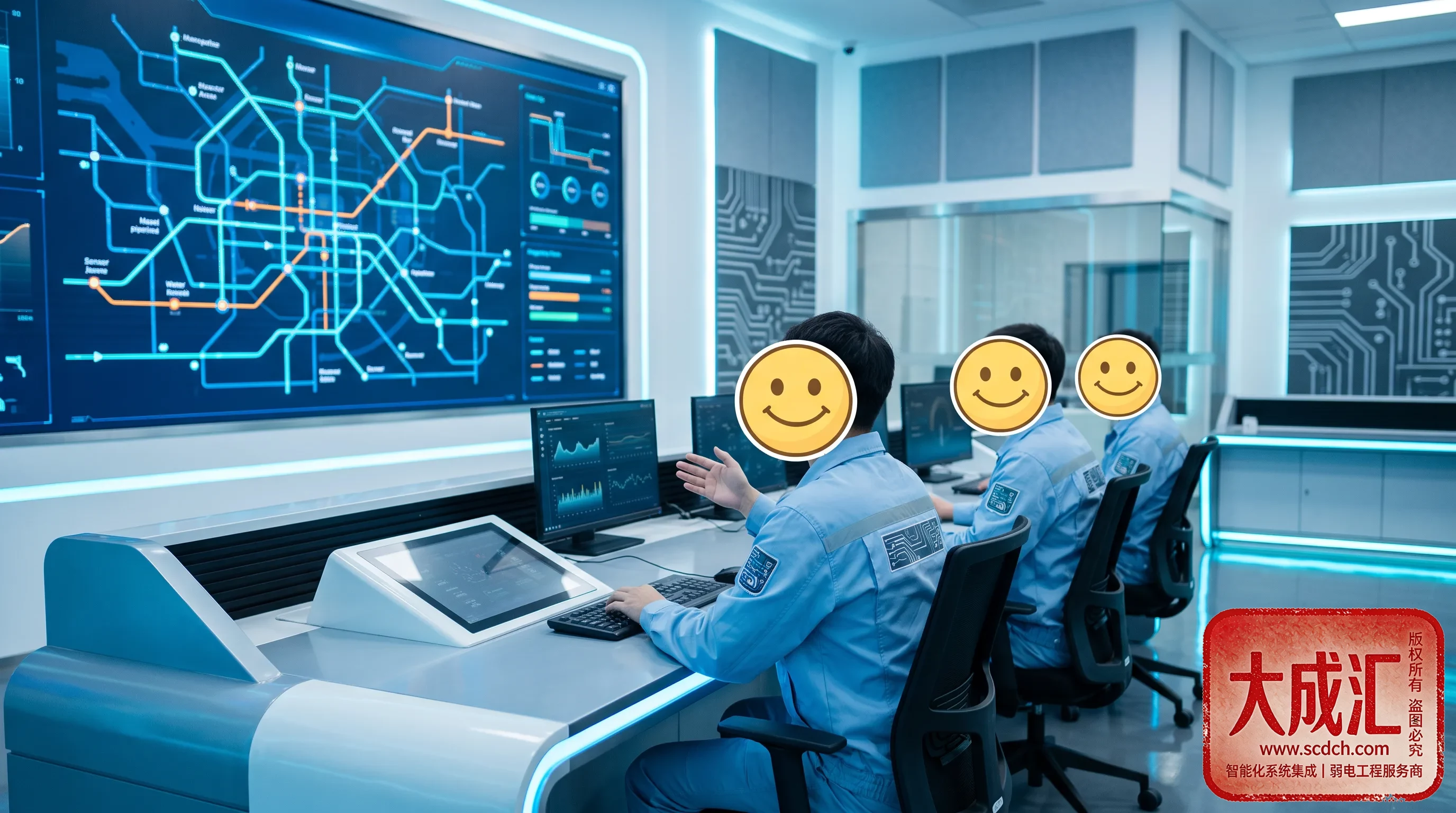
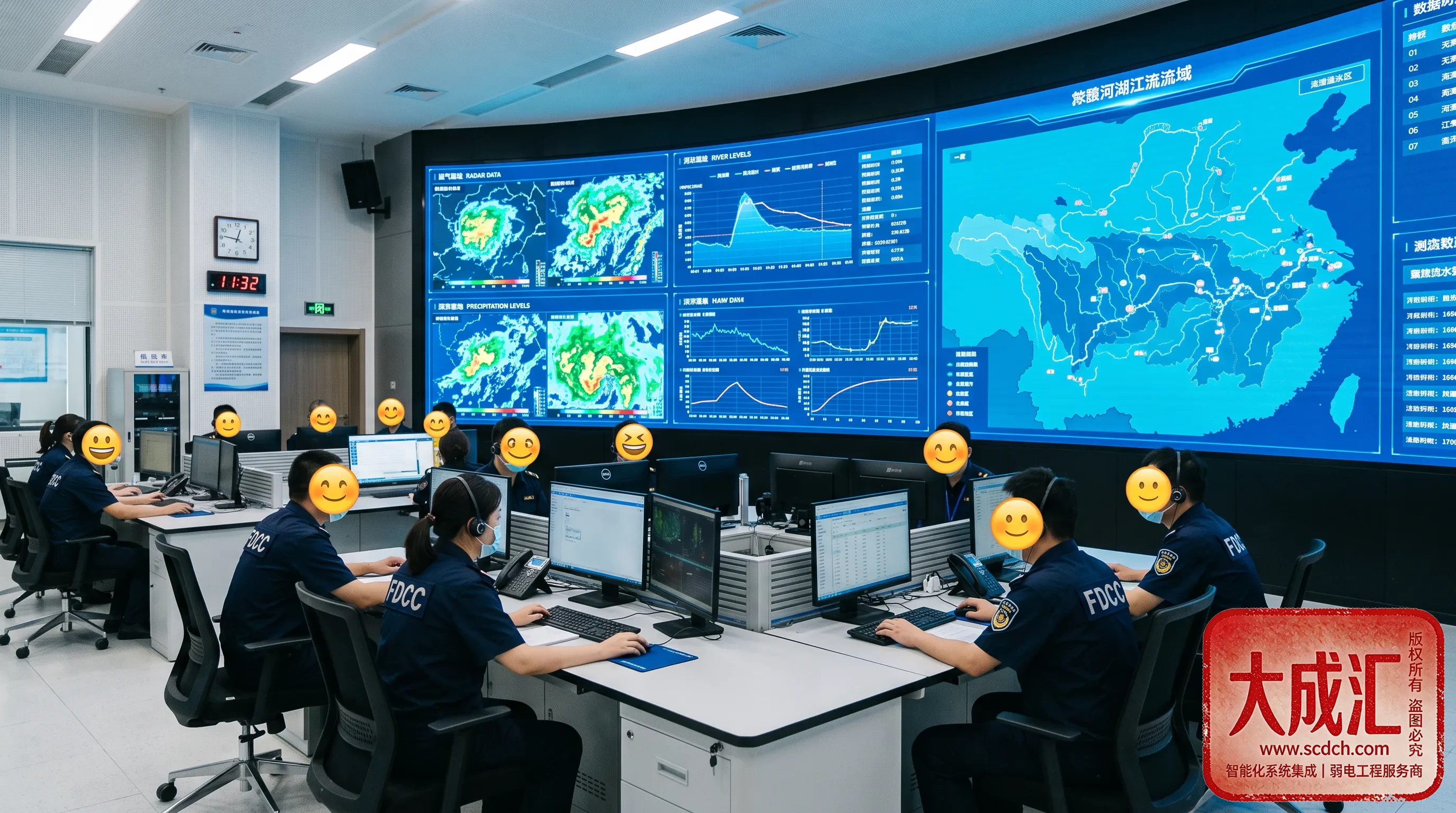
Stations collect data via RTU at scheduled intervals and transmit it encrypted; the platform consolidates, validates and displays it. Managers can view water level, flow and over-warning status across river sections on a single map, turning scattered "stations" into a coordinated "monitoring and reporting network."
3. Core Monitoring Elements and Equipment
3.1 Water Level Monitoring (Radar / Float Gauges)
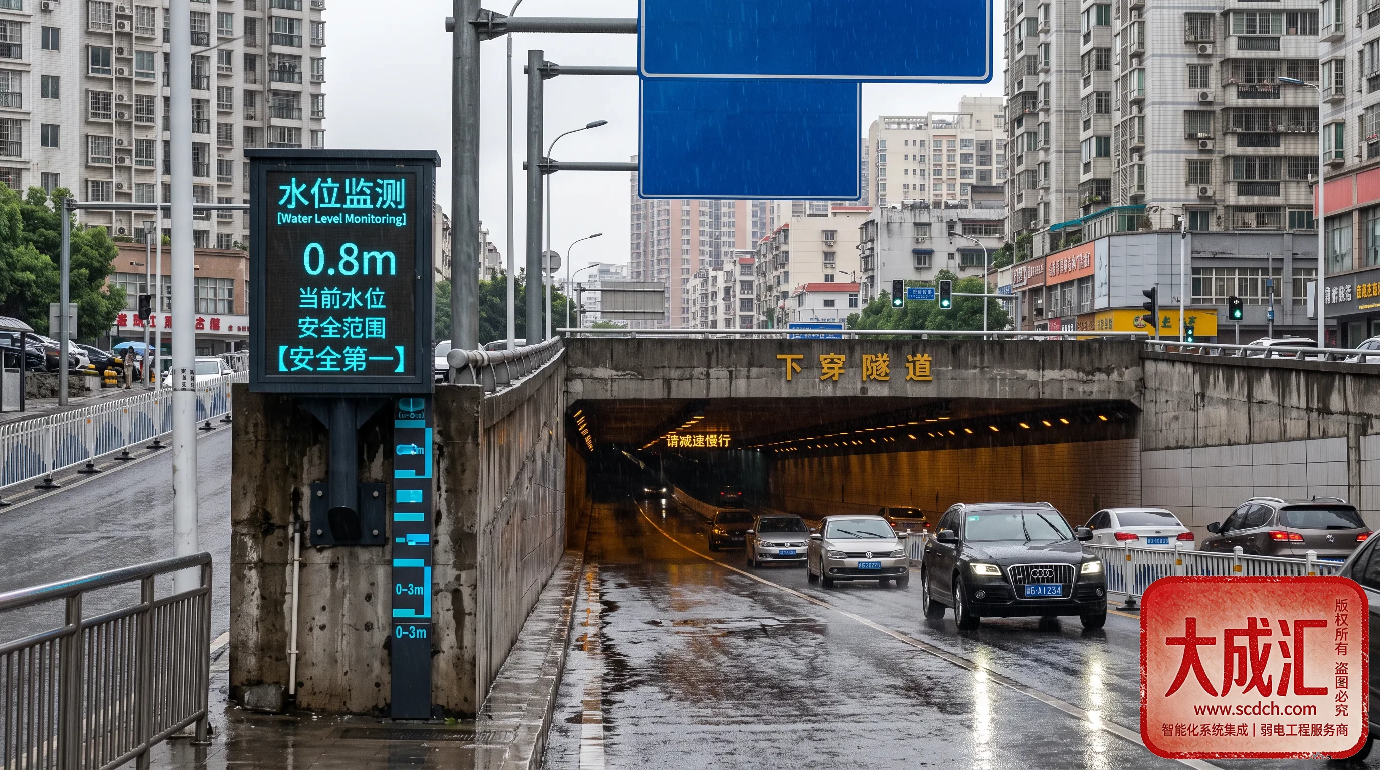
Depending on section conditions, radar water level gauges (non-contact, resistant to floating debris, maintenance-free) or float-type gauges (traditional, reliable and precise) are selected. Water level is collected at one-minute intervals, with automatic additional reporting when the warning level is exceeded. Data is transmitted encrypted via RTU, providing first-hand evidence for flood conveyance dispatch and over-warning alerts.
3.2 Flow / Velocity Monitoring (ADCP and Open-Channel Flow Meters)
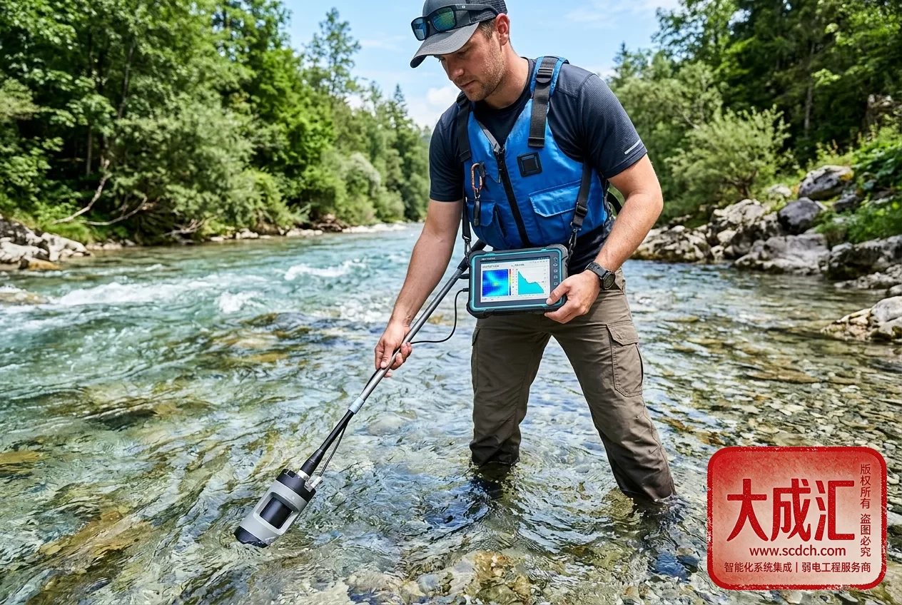
For large and medium rivers with complex velocity distribution, Acoustic Doppler Current Profilers (ADCP) are used in fixed or moving-boat mode to measure the vertical velocity profile directly and derive cross-section flow. For regular open channels and irrigation canal systems, open-channel flow meters plus a stage-discharge relationship estimate flow in real time. Flow data is periodically calibrated to ensure accuracy meets flood reporting requirements.
3.3 Water Body Parameters and Evaporation Monitoring
Automatic water quality buoys provide online monitoring of pH, dissolved oxygen, turbidity and water temperature, supporting coordinated ecological flow and water quality regulation. Automatic evaporation stations collect evaporation data to serve water balance and dispatch analysis, converging "water quantity + water quality + evaporation" at a single station.
3.4 Telemetry Terminals and Communication (RTU)
Each station is equipped with a telemetry terminal (RTU) supporting multi-channel sensor input, local storage, and scheduled/additional reporting. Communication uses redundant 4G/5G and BeiDou dual channels; data is automatically cached when offline and re-transmitted upon recovery. Solar power and low-power design keep field stations operating reliably year-round.
4. Typical Application Scenarios
- Flood conveyance rivers: Real-time water level and flow reporting during flood season with timely over-warning alerts and dispatch;
- Ecological flow sections: Continuous ecological flow monitoring supports water abstraction and release regulation;
- Cross-administrative boundary rivers: Unified section reporting with shared, mutually recognized data reduces water disputes;
- Irrigation canal systems: Open-channel flow metering down to branch canals supports agricultural water pricing reform and water conservation.
5. Compliance and Standards
River hydrology monitoring must align with multiple water industry standards; DCH implements them from design through acceptance:
- SL 21 Specifications for Precipitation Observation, SL 337 Specifications for Acoustic Doppler Current Measurement;
- Series requirements of GB/T 11822 on hydrological observation and monitoring;
- Technical specifications for automatic water/rain reporting and telemetry terminals (RTU);
- Requirements of flood control/drought relief command and over-warning reporting mechanisms;
- Compliance requirements for hydrology data security and sharing.
6. Why Choose DCH
As a local service provider with over 10 years of expertise in intelligent system integration, DCH delivers differentiated capabilities in water informatization projects:
- Full-stack integration: Weak-current works, solar power, communication links and data platforms are designed from one source, avoiding multi-vendor disputes;
- Full-lifecycle service: From station survey, equipment installation, commissioning and calibration to O&M support;
- Industry compliance: Familiar with hydrological observation specifications and flood reporting mechanisms; data is benchmarkable and auditable;
- Local response: Rapid on-site support across Sichuan and Southwest China, with flood-season emergency support;
- Proven cases: Serving many water authorities, government/enterprise clients and water engineering units with reusable delivery experience.
Together we achieve greatness and pool excellence. Guided by the philosophy of "innovation, integrity, professionalism and collaboration," DCH makes every hydrology station a river "sentinel" that measures accurately, reports stably and manages effectively.
7. Construction Essentials and Common Considerations
- Station siting: Avoid backwater, turbulent flow and scour sections to ensure cross-section representativeness;
- Equipment selection: Choose radar/float gauges and ADCP/open-channel flow meters based on section conditions and ranges;
- Flow calibration: Periodically calibrate the stage-discharge relationship to ensure flow accuracy;
- Communication redundancy: 4G/5G plus BeiDou dual channels with breakpoint resume to avoid data loss;
- Power assurance: Solar power plus low-power design with online battery reserve monitoring;
- Multi-element integration: Converging water level, flow, water quality and evaporation at one station improves flood reporting reliability.
8. FAQ
Q1: How to choose between radar and float water level gauges?
Float gauges offer high precision and traditional reliability, suitable for regular sections with stilling wells. Radar gauges are non-contact and maintenance-free, suitable for natural rivers with much floating debris and silting. DCH recommends based on section conditions and O&M cost.
Q2: How is flow monitoring accuracy ensured?
ADCP moving-boat/fixed measurement must be configured per section characteristics, with regular on-site calibration of the stage-discharge relationship using current meters. Open-channel flow meters are selected and installed according to canal structure for reliable flow data.
Q3: What if a field station has no power or network?
Solar power plus low-power RTU with redundant 4G/5G and BeiDou communication are used. When offline, data is cached locally and automatically re-transmitted upon recovery, ensuring continuous and complete data.
Q4: How is data shared with higher-level platforms?
Data is packaged and reported per water telemetry data standards, supporting interfaces to provincial/municipal water condition platforms and flood-control command systems, with formats and reporting mechanisms meeting specification requirements.
For solution design or on-site survey tailored to a specific river or section, please contact the DCH intelligent system integration team for free preliminary consulting and station planning.