Flood and Drought Defense Early Warning
Early assessment, fast warning, precise dispatch — building the first line of disaster prevention and reduction.
Flood and drought defense early warning is a smart flood control and drought relief system that fuses multi-source meteorological, hydrological and engineering condition data to deliver nowcasting, risk assessment and emergency dispatch. With over 10 years of experience in intelligent system integration and water conservancy informatization, Sichuan DCH Technology (DCH) deeply integrates capabilities such as hydrological-hydrodynamic models, digital twin basins, risk maps and inundation analysis into flood-control command operations, delivering full-lifecycle projects from data integration and model building to command platform deployment, so every flood event is "assessed early, warned fast and dispatched precisely."
1. Background and Value
Extreme weather is becoming more frequent and intense, making flood control and drought relief more demanding. The traditional "experience-based decisions plus manual watch" model suffers from coarse forecasts, slow warnings and scattered consultations, making it hard to meet the requirement of "rather over-prepare than ever miss a defense."
For flood-control command and water management departments, this early warning system delivers the following value:
- Early assessment: Nowcasting of rainfall and flood routing simulations assess risks in advance;
- Fast warning: Automatic risk-level assessment sends alerts directly to responsible persons and the public;
- Precise dispatch: Coordinated reservoir operations and pump-gate linkage plans support decision-making;
- Closed-loop response: Warnings, responses, actions and evaluations are fully documented and traceable.
2. Overall Architecture: A Three-Layer Data–Model–Command Defense System
DCH breaks the system into a "data–model–command" three-layer architecture emphasizing "data-driven decisions, model-supported assessment and platform-closed response":
| Layer | Components | Key Capabilities |
|---|---|---|
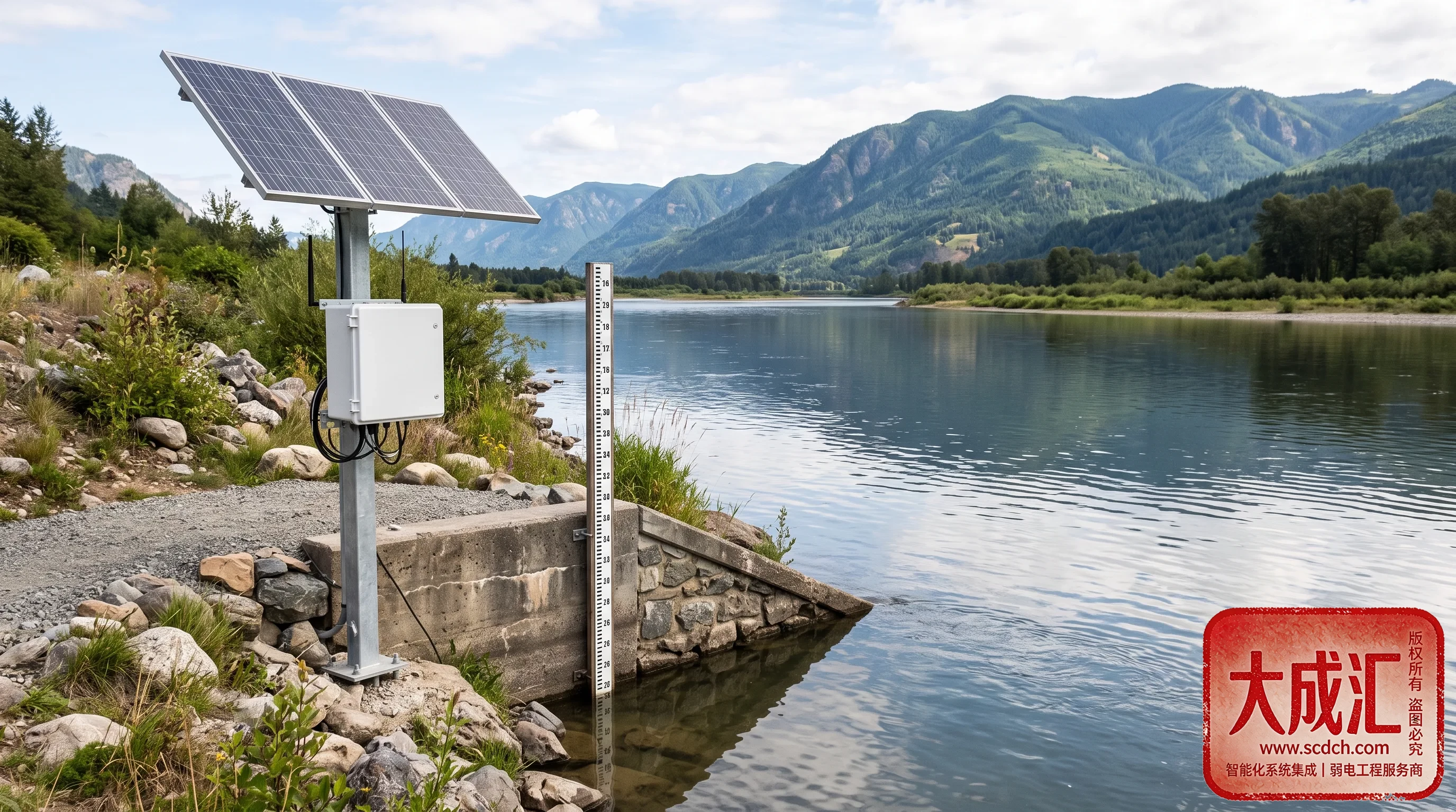
| Data layer | Multi-source meteorological, hydrological, engineering, flash-flood and soil moisture data | Unified access, cleansing and validation, spatiotemporal convergence |
| Model layer | Hydrological-hydrodynamic models, rainfall nowcasting, risk maps and inundation analysis | Flood routing simulation, inundation range analysis, risk-level assessment |
| Command layer | Flood-control command platform, digital twin basin, emergency dispatch and consultation | Alert issuance, joint consultation, dispatch orders, closed-loop response |
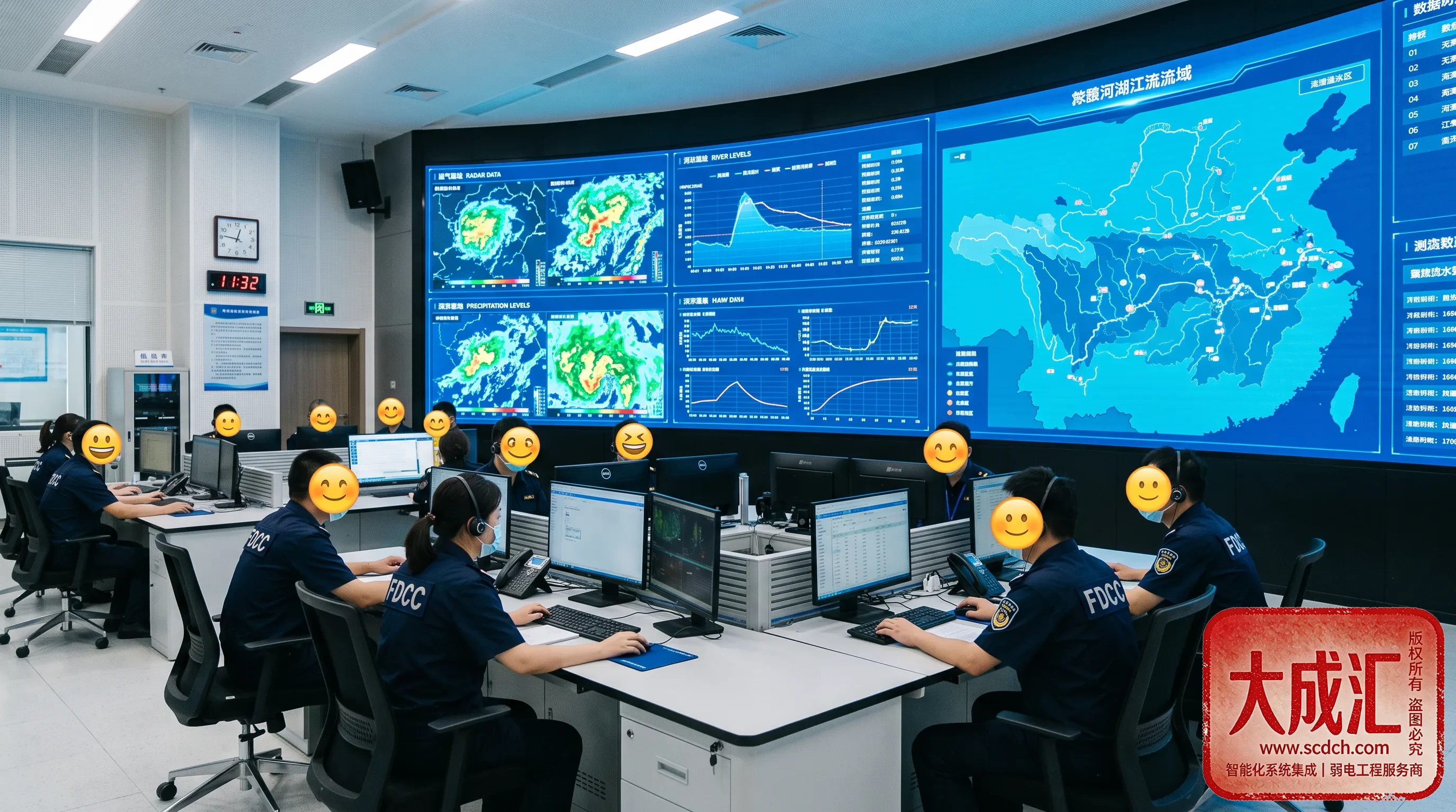
Multi-source data enters in real time, the model layer simulates automatically, and the command platform displays risk distribution and response progress on one screen, turning scattered "data" into a coordinated "defense system."
3. Core Capabilities
3.1 Hydrological-Hydrodynamic Models
Models are built from basin terrain, river networks and engineering operation rules to perform flood routing simulation and inundation analysis, predicting flood peak arrival times and affected areas. Models are calibrated against local historical data to keep simulations close to reality.
3.2 Digital Twin Basin
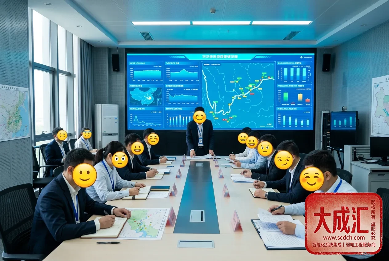
A digital twin foundation is built with GIS and 3D visualization, mapping water level, flow, rainfall and gate/dam conditions onto a virtual scene in real time. One screen shows the entire basin situation, providing an intuitive, unified view for joint consultations.
3.3 Rainfall Nowcasting and Risk Assessment
Weather radar and nowcasting products are integrated with basin land-surface conditions and antecedent rainfall to perform risk assessment and inundation analysis, automatically generating zonal, tiered risk maps. Warning thresholds are configured in tiers; reaching a threshold triggers an alert, eliminating "single-point false alarms and missed flood warnings."
3.4 Emergency Dispatch and Consultation
For flood-control command scenarios, the system provides coordinated reservoir operation and pump-gate linkage plans and emergency consultation tools, supporting plan comparison, order issuance and execution tracking. For drought scenarios, it supports soil moisture monitoring and water source allocation analysis, serving both "major floods" and "severe droughts."
4. Typical Application Scenarios
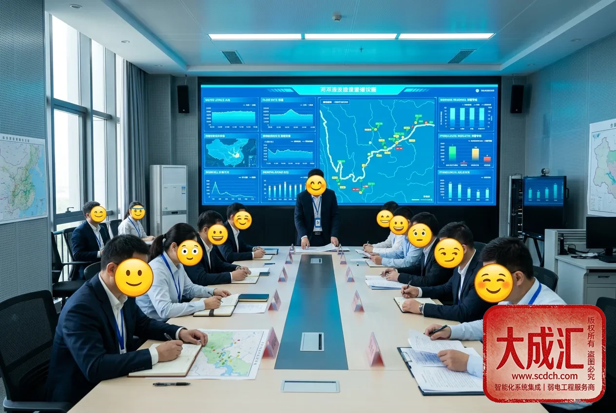
- Flood-control command: Integrated flood-season consultation, alert issuance and dispatch command;
- Coordinated reservoir operation: Simulation and comparison of multi-reservoir joint storage plans;
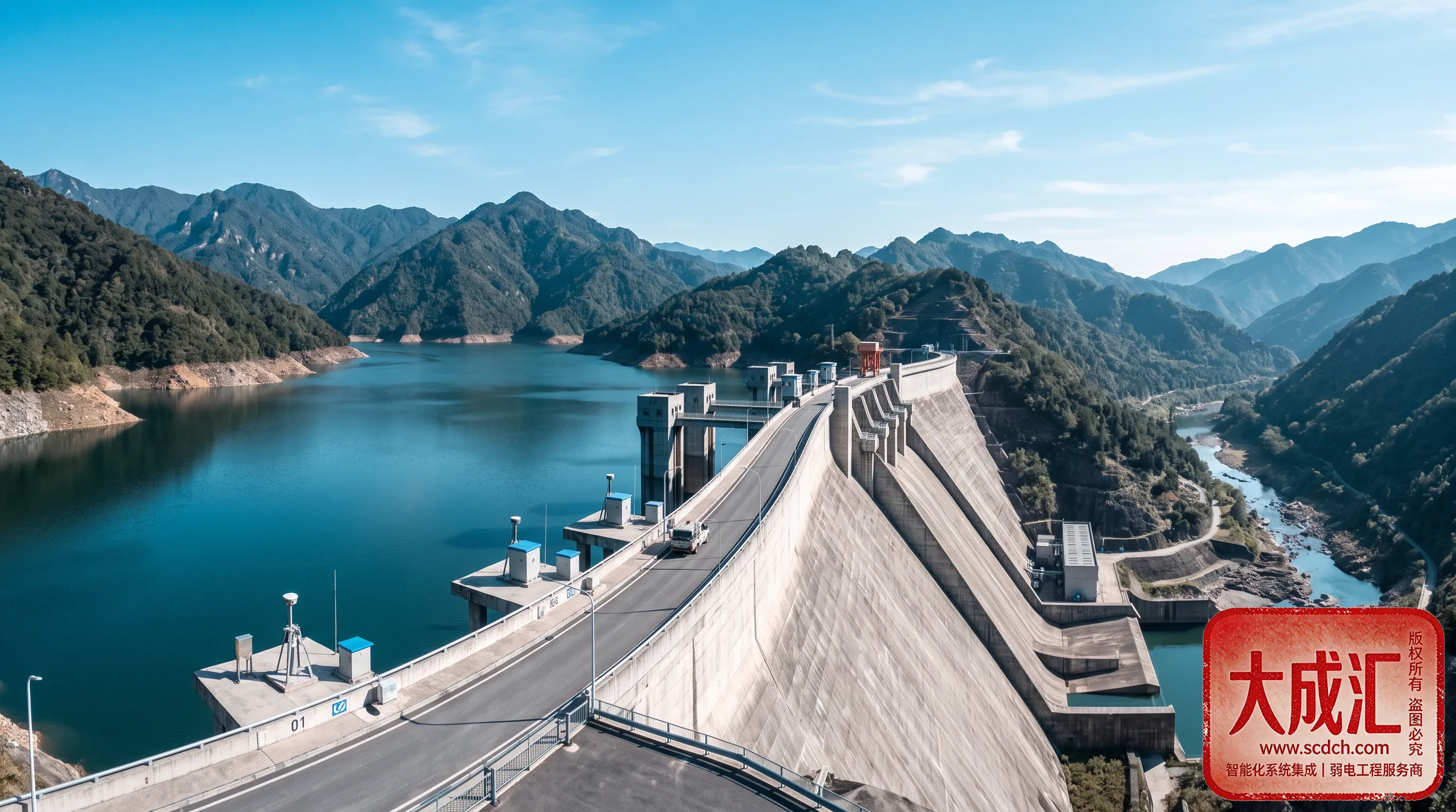
- Flash flood and geological disaster defense: Flash flood warnings "call out" to villages and households to prevent geological risks;
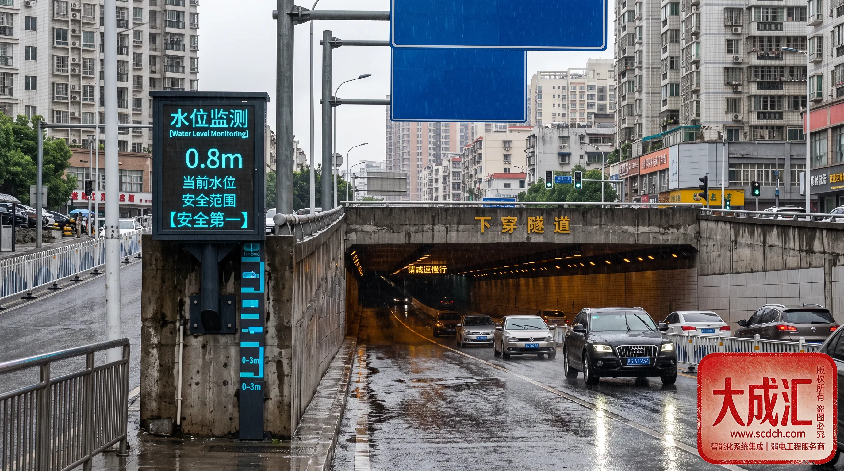
- Urban emergency: Urban waterlogging risk assessment and emergency resource dispatch.
5. Compliance and Standards
The system must align with water industry standards and emergency response plans; DCH implements them from design through acceptance:
- SL 729 Table Structure of the Basic Database for Water Conservancy Objects and related water data specifications;
- Relevant flood-control command response plans and alert issuance standards;
- GB/T 24439 Statistics of Natural Disasters;
- Requirements for flash flood monitoring/early warning and the "call-out" mechanism;
- Compliance for water data security and emergency information release.
6. Why Choose DCH
As a local service provider with over 10 years of expertise in intelligent system integration, DCH delivers differentiated capabilities in flood and drought defense:
- Full-stack integration: Weak-current works, communication links, data integration and command platforms are designed from one source, avoiding multi-vendor disputes;
- Full-lifecycle service: From data integration, model building and platform deployment to flood-season duty;
- Industry compliance: Familiar with flood plans, alert issuance and water data standards; benchmarkable and auditable;
- Local response: Rapid on-site support across Sichuan and Southwest China, with 24-hour flood-season emergency support;
- Proven cases: Serving many water, emergency and government/enterprise units with reusable delivery experience.
Together we achieve greatness and pool excellence. Guided by the philosophy of "innovation, integrity, professionalism and collaboration," DCH turns every flood event into an earlier, faster and more precise opportunity for disaster prevention.
7. Construction Essentials and Common Considerations
- Data integration: Prioritize connecting key sources such as meteorological, hydrological, flash flood and soil moisture data with a unified spatiotemporal datum;
- Model calibration: Models must be calibrated against local historical floods and rainfall events to avoid "inadaptation";
- Tiered alerts: Thresholds are configured in tiers with "call-out" to responsible persons, ensuring alerts are heard and acknowledged;
- Plan drills: Plans must be actionable and drillable, with key procedures rehearsed in advance;
- Closed-loop management: Warnings, responses, actions and evaluations are fully documented to form an improvement cycle;
- System redundancy: Dual redundancy in communication and power keeps command links uninterrupted in extreme scenarios.
8. FAQ
Q1: How accurate are flood routing simulations?
After calibration against local historical events, models achieve engineering-grade accuracy and serve as an important basis for risk assessment and dispatch; actual operations still combine real-time monitoring and expert consultation.
Q2: How are alerts ensured to reach responsible persons?
Per the "call-out" mechanism, alerts reach responsible persons via SMS, platform and voice, with receipt confirmation tracked; important alerts are also pushed to command platforms and duty staff.
Q3: Can the system help with drought prevention?
Yes. Drought scenarios support soil moisture monitoring, water source allocation and water use plan analysis, providing unified decision support for both major floods and severe droughts.
Q4: How long is the construction cycle?
It depends on data sources and model complexity. It is generally phased: data integration and monitoring first, then models and simulation, then command platforms and drills, iterating and refining step by step.
For solution design or on-site survey tailored to a specific basin or project, please contact the DCH intelligent system integration team for free preliminary consulting and risk assessment solutions.